November 19, 2019
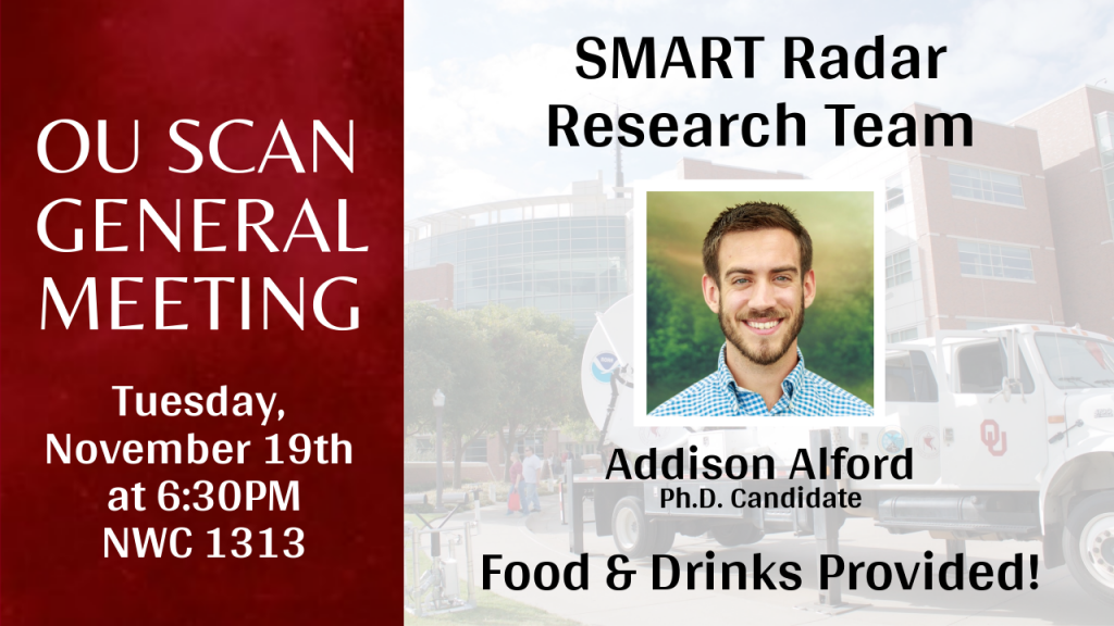
Addison Alford speaks on the SMART Radar trucks and more at the SCAN November General Meeting:
The SMART Radars offer high-resolution observations of storm-scale evolution of hurricanes, severe continental convection, and lightning. Goals of landfall observations within hurricanes for the SMART team include convective processes that can lead to intensification, rainfall/wind distribution, dynamic processes during landfill,, and near-surface evolution. They observed Hurricane Harvey in a long deployment, as they were ~10 miles inland from Rockport, Texas. Harvey’s landfall proved successful for the Smart Radar Truck team. It was recognized that the storm was propagating against the mean wind, consistent with VRWs. In a partnership with NSSL, Sean Waugh suggested the release of soundings into the hurricanes they deploy into. This was conducted in Hurricane Harvey, showing notable precipitable water into the interior edge of the eye wall of Harvey, likely reaching a record level (3.26 inches) for the United States. The team has also been deployed to Hurricane Florence, Hurricane Dorian, and more. Wrapping up he talks more about the Vortex Southeast campaign with the radar trucks. He speaks on different chases they experienced, and goes over the mesovortices in QLCS events that they were able to see in the radar imagery the trucks generated. April 14th, 2018 they showed that mesovortex tracks can last long periods of time and produce multiple localized tornadogenesis events in additions to straight line wind events. In summary, the utility of mobile radars lies in their ability to get close to their targets, maximizing resolution. “
